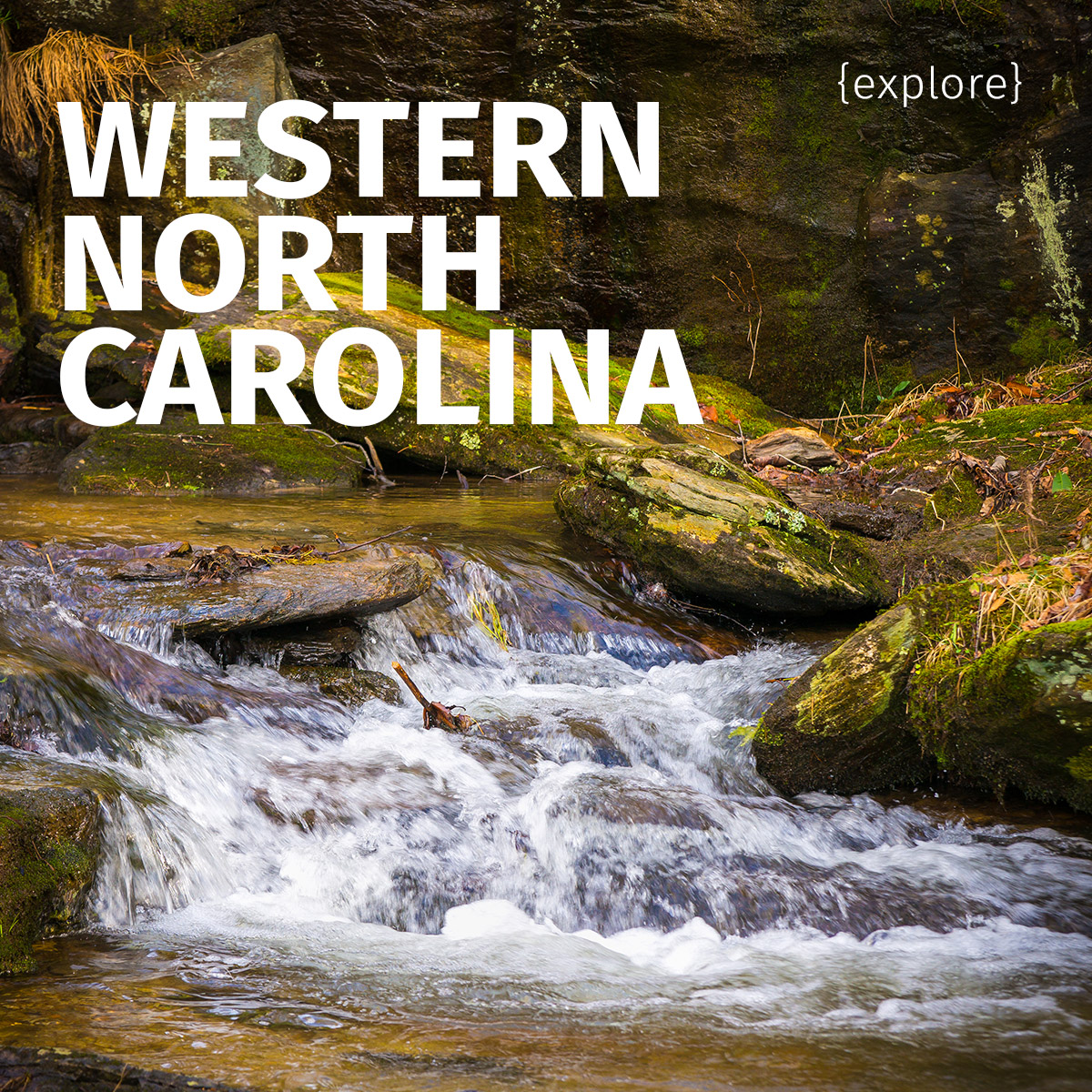
{explore} Western North Carolina and the Blue Ridge Mountains

This is the post in which I visit North Carolina and fall into a waterfall.
Okay, it wasn’t a major accident, but since the entire town of Newland was out enjoying a rare sunny and 70-degree winter day just after Christmas at that particular mountain park, it was a wee bit embarrassing.

It was a strangely warm Christmas in 2015 on the east coast. All December, from my perch in cold and rainy Seattle, I’d been seeing east-coast friends exclaim on Facebook about the blooming cherry blossoms (!), the daily temperatures in the 60s, and even the total lack of snow in Ottawa. When we arrived in North Carolina for the holiday, we brought the rain with us, and it proceeded to pour almost every day we were there. Given that it had also been raining at home all month, but at temperatures just above freezing, I still appreciated the chance to thaw out.

A foggy morning in Connelly Springs, NC.
Aside from the hotel fire alarm ushering us out into the night at 2 a.m. on Christmas morning, it was a wonderful family visit, but this particular year we were able to take an extra day and do something special.

Fog hiding the horizon on Lake Hickory in the pouring rain.
When the Viking and I were dating in college, we’d travel between the two mountain towns in which our respective campuses of higher learning were based as often as possible. Often at 2 a.m., in his rickety Thunderbird, on dark and winding mountain roads.

Fog hiding the horizon on Lake Hickory after a December rainstorm.
I had fond memories of those trips, but haven’t had a reason to drive out that way in…I guess it’s been almost 15 years now. So we were well past due for a visit to our old haunts.

Earlier in the week, I’d stopped by a couple of pretty spots on Lake Hickory and captured the still water and thick fog that came from days and days of rain.

Driving up Interstate 40 west towards Asheville was like seeing old friends on every side, nodding from the mountainsides and trees and highway curves. From Asheville, we turned north onto highway 19-23 and paused briefly in my little college town to see what had changed. The college is now a university, and the campus has a couple more buildings, but otherwise little has changed in that sleepy village.

I-40 near Black Mountain, NC, heading west toward Asheville.
Speaking of sleepy little towns, Burnsville — located a few miles down the route between My College Town and His College Town, notable only for its low speed limit and overly-cautious drivers who tended to halve that — hadn’t changed much either.

A barn advertising a church in Micaville, NC.
The route, however, had. Now four lanes wide, highway 19 was newly anonymous, wiped clean of the little antique store and roadside houses and other small landmarks, a friend changed beyond recognition. Still a lovely drive, though, and we were gifted with a day of spectacular sunshine and warmth.

An old truck for sale off highway 19 near Burnsville, NC.

A scarecrow and farm equipment off highway 19 near Burnsville, NC.
Not all the landmarks I remembered had disappeared. The Spruce Pine volunteer fire department still has its old sign. There are more barn hexes decorating buildings like large quilt blocks than ever (one town along the route seems to have made a municipal effort of it, since nearly every building facing the road had one). The beautiful Linville River Farm is out of business, but we snuck onto the closed B&B grounds briefly for photos.

An old log cabin labeled “House of Prayer” near Burnsville, NC.

The Spruce Pine volunteer fire department.

The bed and breakfast at Linville River Farm, no longer in operation.
The small town of Newland wasn’t on our route, but we detoured so I could fall in a waterfall.

The waterfall itself doesn’t seem to have a name.
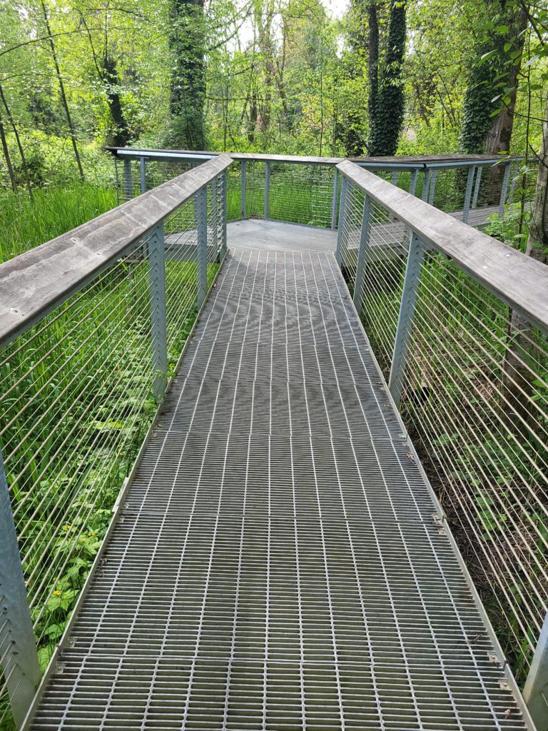
It’s a lovely waterfall, isn’t it? Three natural tiers of white water just off the highway at Waterfalls Park, easily accessible, with a small park and picnic tables at the base. There’s a nice walking trail up at the top, too, that meanders through a meadow and back into the woods.

That blurred rock in the foreground is treacherous. Beware.
So here’s how I fell into the waterfall. I was perched on that rock you see in the foreground, setting up my camera for a long-exposure shot of the fall, and discovered that the rock was much more slippery than it looked. Scrrrrape went my foot right down the rock and into the riverbed, dragging me along with it.
I was just fine and not even very wet, albeit with a scraped leg and slightly injured dignity, but the corner of my shiny new Sony A99 camera had gotten banged pretty hard on the rock, so I was much more concerned about that. The settings on the top screen had disappeared, replaced by the word ERROR. With a sinking heart I flipped the power switch off. The screen still read ERROR.
Fortunately it occurred to me through rising panic to pop the battery out and back in, which reset the camera and restored it to full functionality. Phew. I breathed a sigh of relief and was much more cautious the rest of the day.

The second and third tiers of the waterfall.

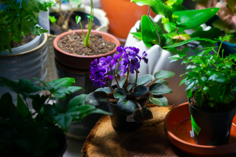
Waterfall and rhododendrons.
Our next stop was in the Viking’s (and, later, my own) college town, Boone, a beautiful little tourist town we visit quite often. One pit stop at the candy store later (my inner eight-year-old insists we visit every time), we were on the road again, bound for the Blue Ridge Parkway.

The Boone post office in Christmas apparel.

A statue of a local hero, bluegrass singer Doc Watson, in festive attire.
Speaking of old friends….


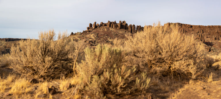
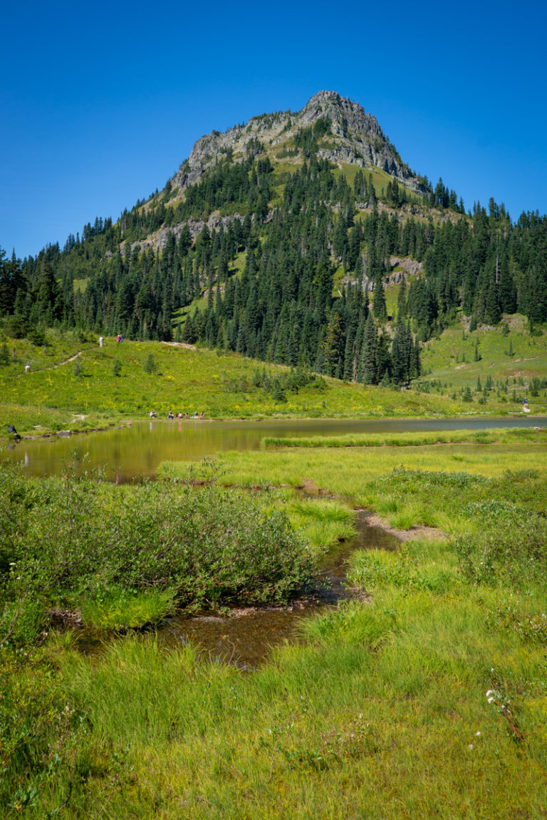
The Blue Ridge Mountains, as seen from the Blue Ridge Parkway on a December evening.
The Blue Ridge is the home of my heart. Even here in the Pacific Northwest, in the midst of spectacular snow-capped mountains and deep valleys and pebbled coasts, there’s a fierce little ache in my heart for my soft hills of rhododendrons, for the old bones of the earth showing through the soil.


Price Lake at sunset on a December evening.
Every curve in the Parkway holds a memory: the pasture where wild turkeys are just visible in the deep grass, the overlook where trilliums bloom just out of sight in the woods, the split rail fences, the Viaduct that snakes across the mountainside, the swinging tourist bridge just visible high up on Grandfather Mountain, the lake that was drained for a while when I was tiny. I can still remember the twisted skeletons of trees like dinosaur bones thrusting up from the dry lake bed.

Visitors passing along a curve in the parkway at dusk.


The Blue Ridge Mountains as fog rolls through at sunset.
I’m fairly certain heaven has a Viaduct.

The Blue Ridge Parkway’s Linn Cove Viaduct at sunset.
The Explore series follows me as I travel, photograph, and explore the Pacific Northwest and the world, proving that plus-size people can live a life as joyous and adventurous as their thinner counterparts.